M-LAS
3D Scanning.
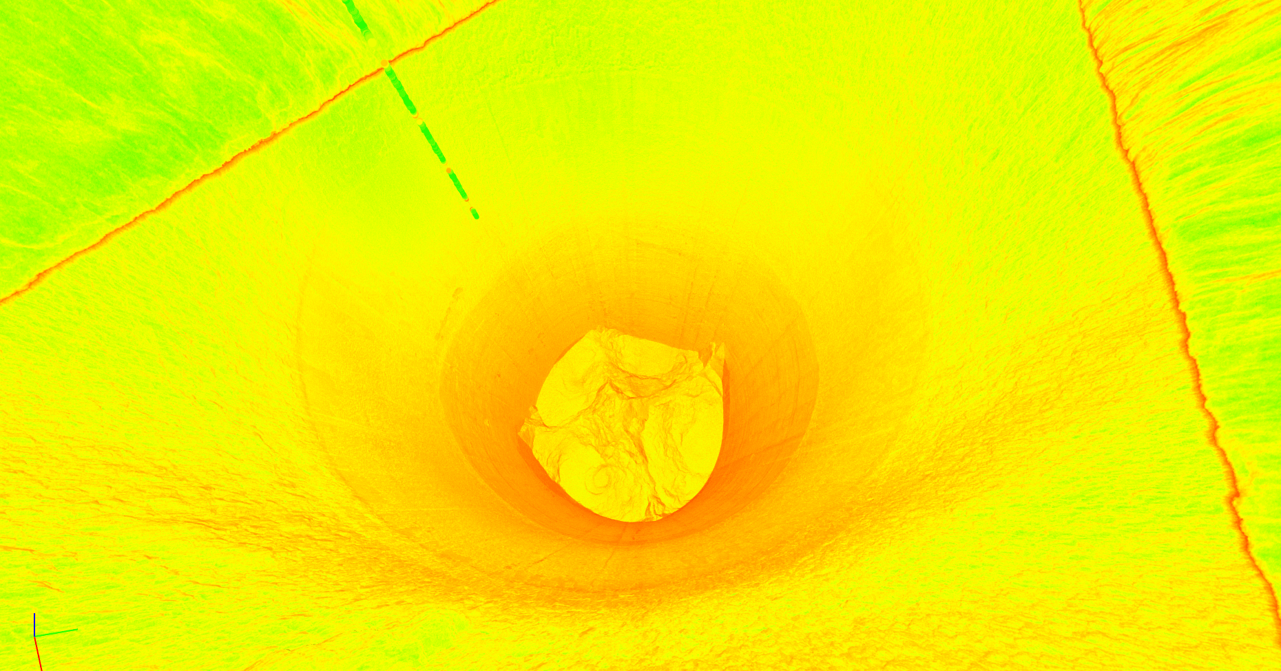
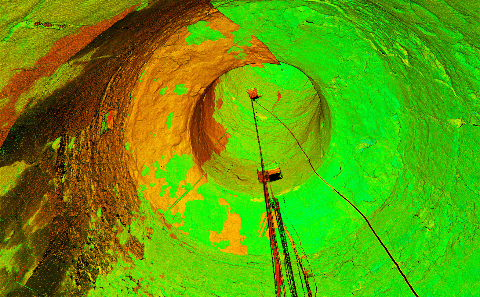
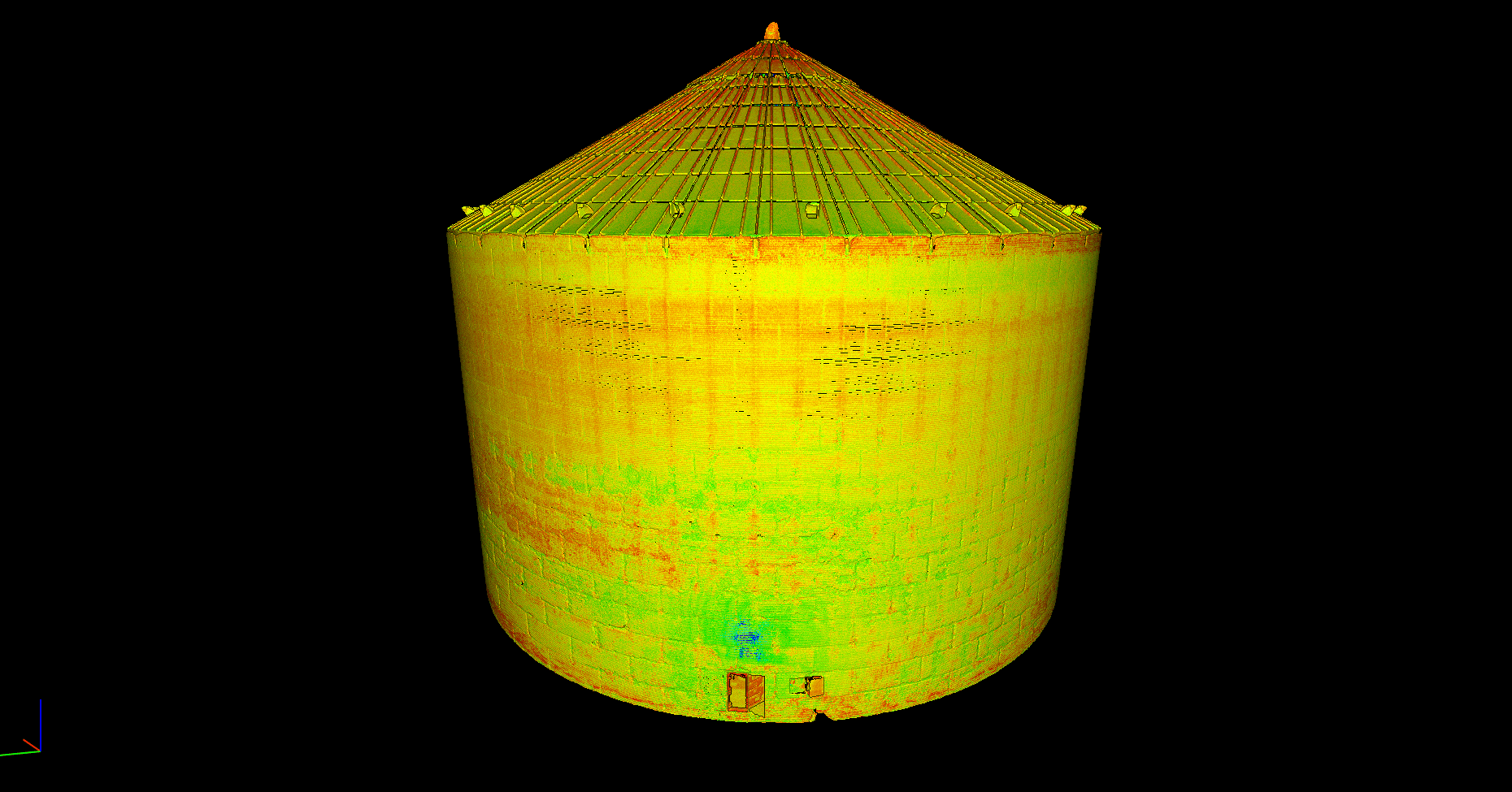
LiDAR scanning for silos, kilns, and bulk storage. Measure internal geometry, material buildup, and available capacity without entering silo interiors for the scan.
Know what’s inside
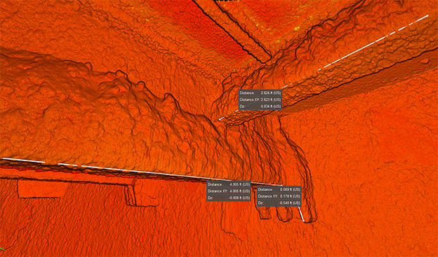
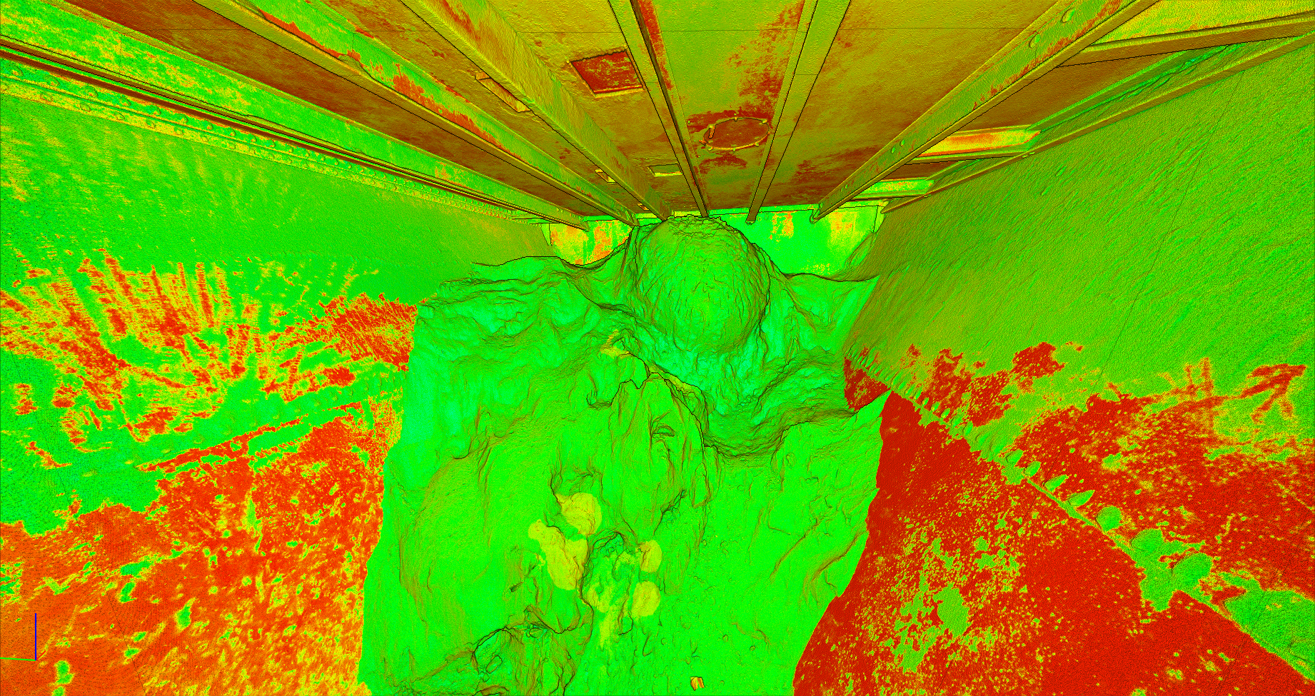
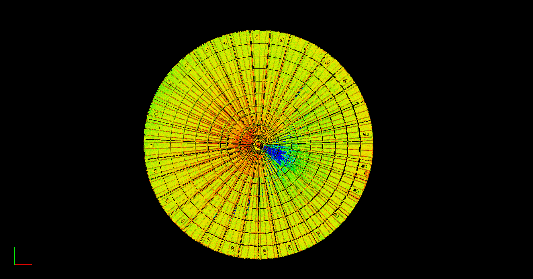
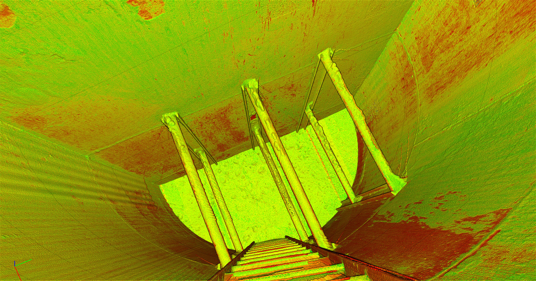
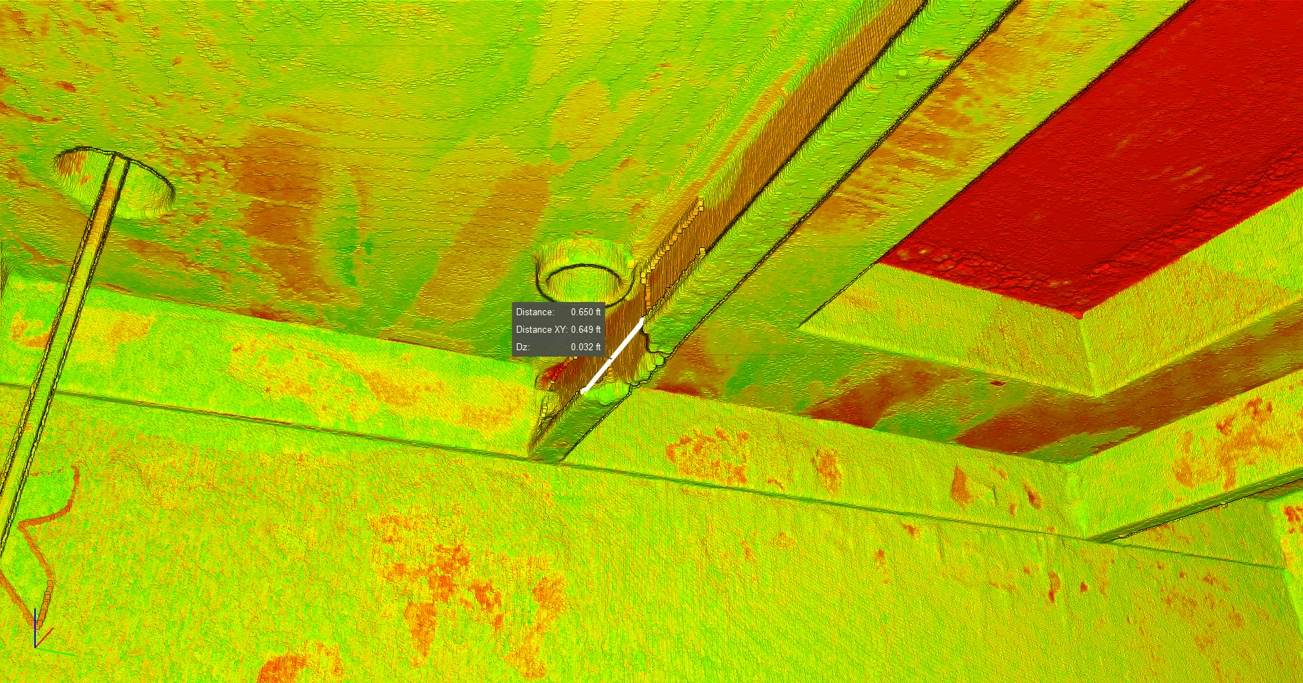
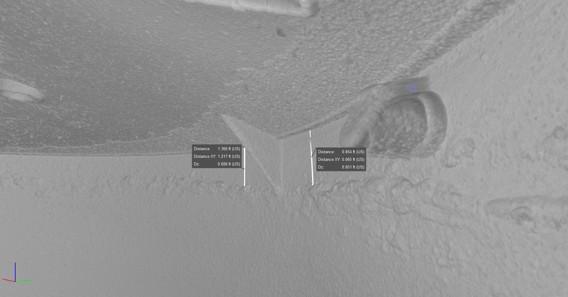
M-LAS captures millions of measured points to create a detailed 3D record of your asset.
Locate buildup and obstructions, measure storage volume, and compare current conditions with design drawings or previous scans.
Use the findings to plan cleanouts, maintenance, and shutdown work.
Our process
Reports and files are typically delivered in 5–7 business days.
- 01
Site survey
Review access, safety requirements, scan positions, and the scope of work.
- 02
LiDAR scanning
Capture millions of points with ±2mm scan accuracy.
- 03
Data processing
Build point clouds, imagery, and volume or condition reports.
- 04
Digital delivery
Receive CAD-ready files, PDF reports, and offline viewing tools.
Applications
Kilns and calciners
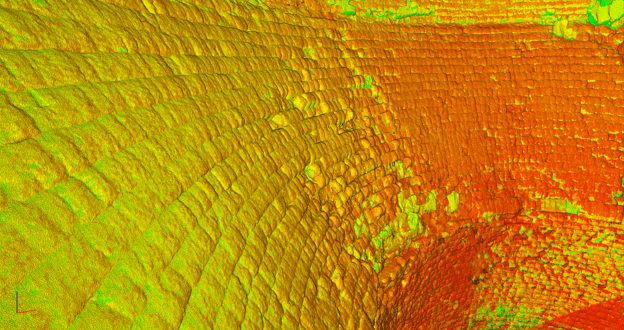
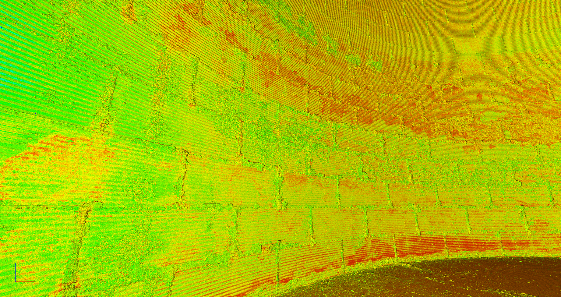
Refractory brick linings experience uneven thermal, chemical, and mechanical wear. M-LAS captures the lining surface as a detailed 3D point cloud, helping your team identify wear, incrustation, spalling, and areas that need closer attention.
What the service includes
- Interior surface scanning at ±2mm accuracy, avoiding entry wherever possible.
- Detailed point clouds and 360° imagery of the lining.
- Deviation analysis against original design drawings or a baseline scan.
- CAD-ready files, PDF condition reports, and secure offline viewing tools.
Designed around your shutdown
Pre-scan planning confirms positions, access, asset geometry, and maintenance objectives. Scanning takes place early in the shutdown window, with processing and deviation analysis supporting the repair scope.
This service includes an on-site findings walkthrough within 24 hours. Maintenance, engineering, and operations teams review the findings zone by zone before the shutdown window closes.
Scanning can begin once temperatures are below 120°F, with access and site safety requirements confirmed during planning.
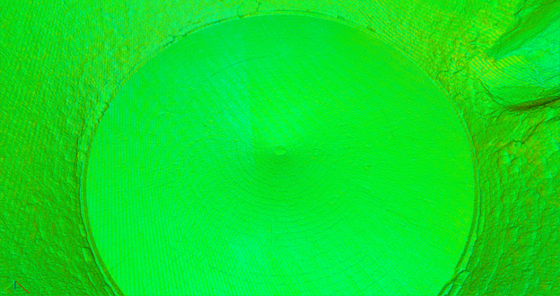
Cement silos
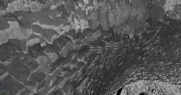
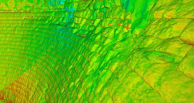
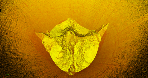
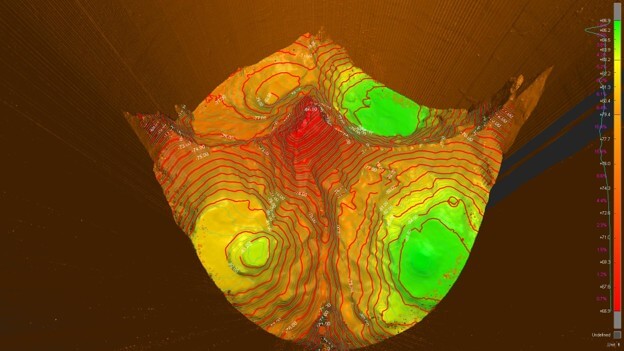
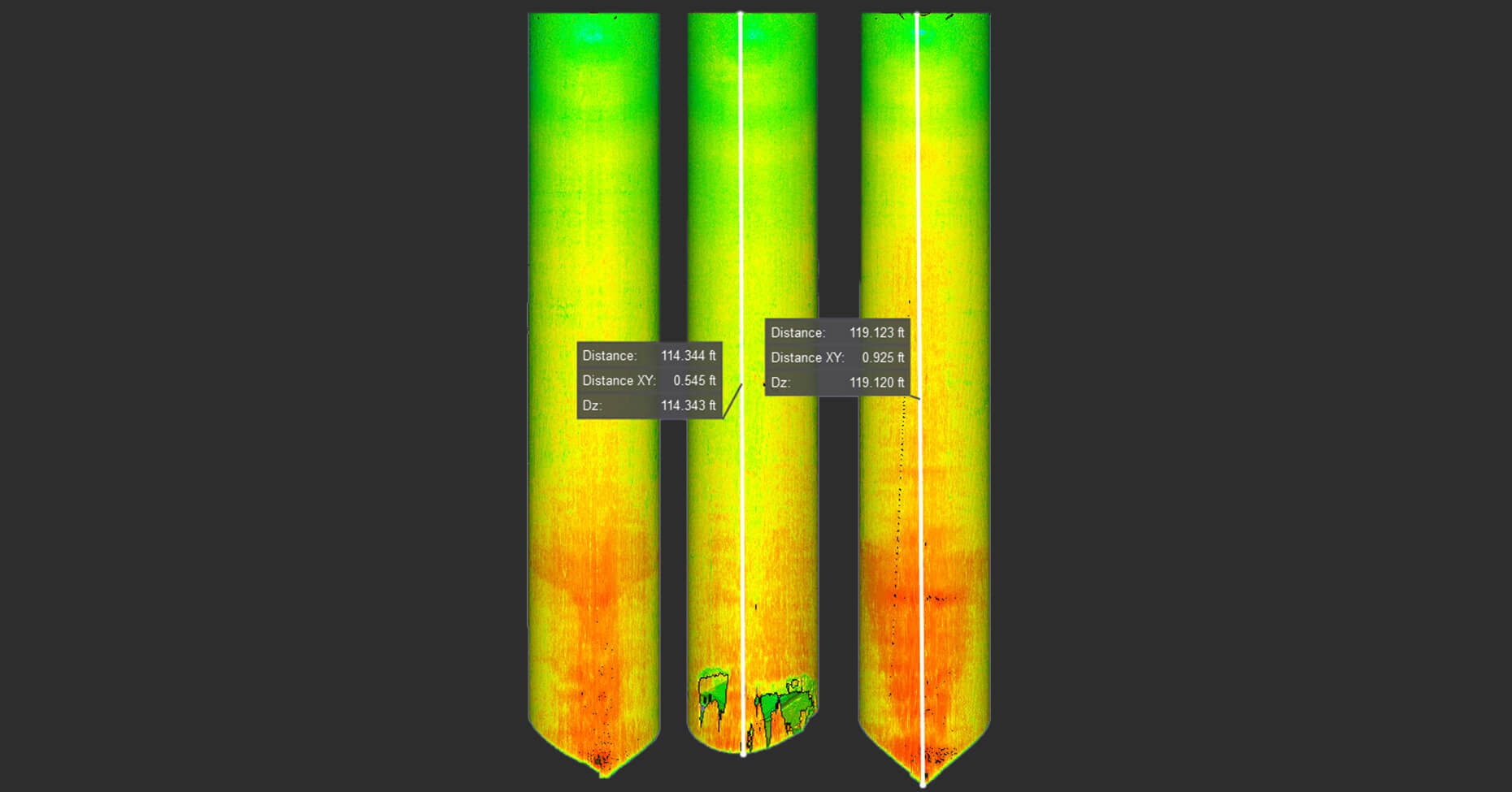
Bridging, rat-holing, hidden obstructions, and material buildup can reduce usable silo capacity. M-LAS records interior geometry without confined-space entry for the scan, so teams can see where material is accumulating.
What the service includes
- Interior scans before and after cleaning at ±2mm accuracy.
- Detailed 3D point clouds and 360° imagery.
- Material flow analysis mapping and comparison with drawings or CAD models.
- Review of internal components and areas of concern.
- CAD-ready files, PDF condition reports, and offline viewing tools.
Data for maintenance and engineering
Plant managers can evaluate storage performance and plan work around production. Maintenance teams can investigate recurring flow issues, while engineering teams compare field conditions with the original design.
Major outage support
Mole·Master’s on-site LiDAR outage support places a scanning, imaging, and reporting team at your facility for the full outage window. Conditions can be captured and reviewed as work progresses and new areas become accessible.
What the service includes
- A dedicated on-site LiDAR and video imaging team.
- Continuous capture across newly accessible zones.
- On-site processing and reporting facilities.
- Updated visuals and reports prepared for outage meetings.
- CAD-ready outputs, offline viewing tools, and close-out documentation.
From planning to close-out
Before mobilization, the team reviews the outage schedule, priority scan areas, access, and reporting needs. Equipment and reporting facilities are then established on site.
As the outage progresses, technicians capture and process current conditions, support findings presentations at outage meetings, and help teams reassess scope and repair priorities using the same data.
The final package includes reports, imagery, and CAD-ready files documenting the event for future planning and comparison.
Grain and inventory management
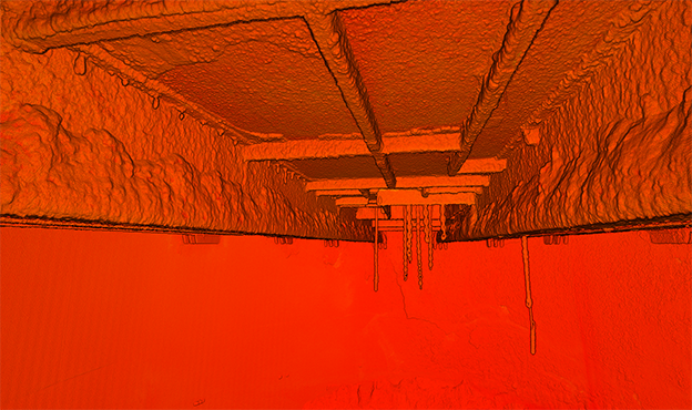
Uneven pile surfaces, bridging, and voids can make stick readings and geometric assumptions unreliable. M-LAS captures the three-dimensional geometry of bins, silos, and flat storage piles to support measured inventory figures.
What the service includes
- Non-entry LiDAR capture with ±2mm scan accuracy.
- Volumetric calculations reported in agreed inventory units.
- Comparison of physical inventory with book inventory.
- Identification of bridging, voids, and uneven surfaces.
- PDF inventory reports and secure offline viewing tools.
Built around your reporting timeline
Planning identifies each bin, silo, or pile and aligns the scan schedule with your audit or reporting cycle. Field data is processed into volume calculations and documented findings.
Finance and accounting teams can use the results for reconciliation. Operations teams gain bin-by-bin measurements, while auditors, lenders, and insurers can review the supporting data record.
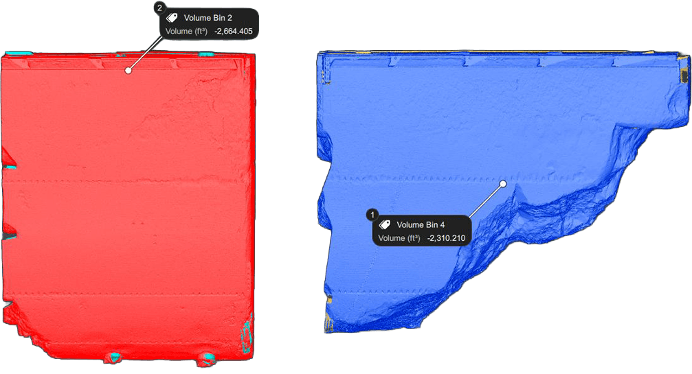
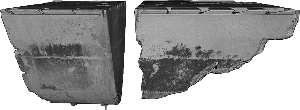
Also available for blast furnaces, process vessels, and storage tanks.
Compare the scan
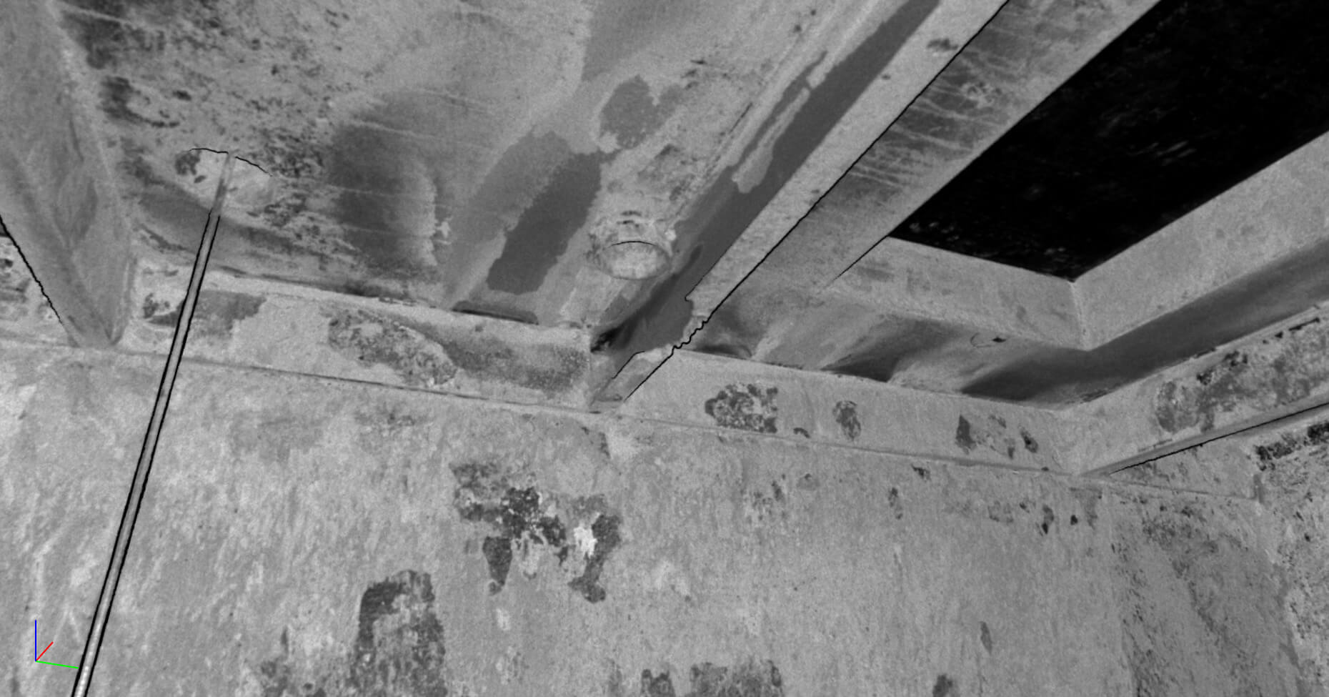
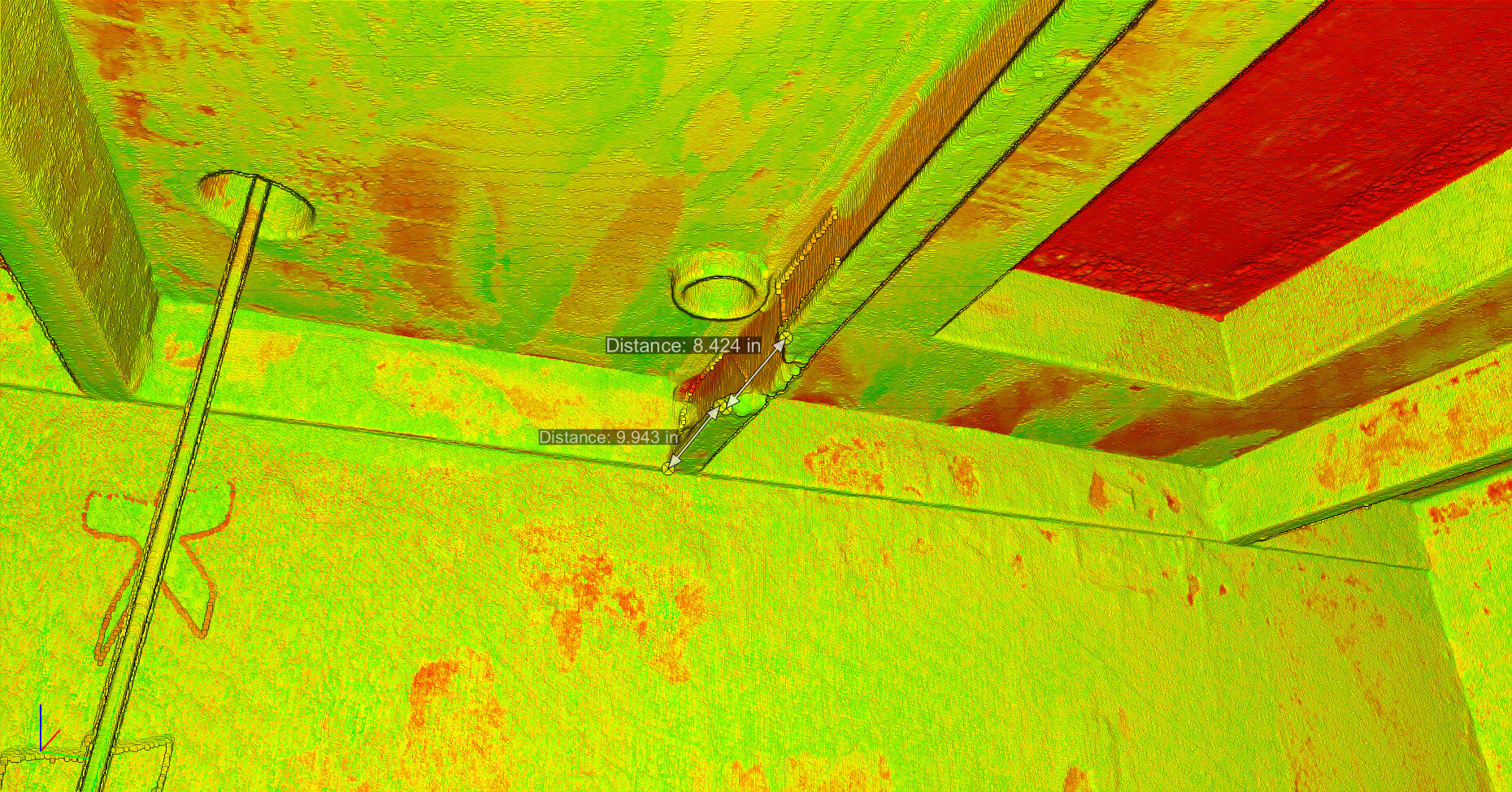
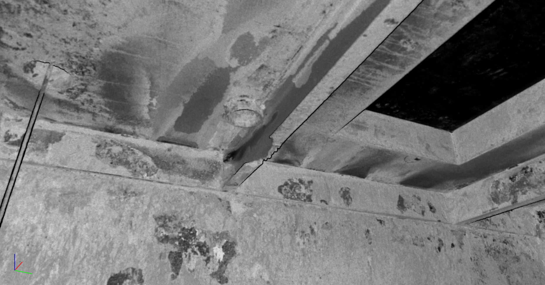
Drag the divider to compare colorized LiDAR data with the grayscale view.
From the field
Next-day operational insights
A scan of a dormant silo provided next-day operational insights and helped the customer avoid unnecessary confined-space entry for the inspection.
Buried infrastructure identified
LiDAR analysis identified ductwork buried in five feet of material within 30 minutes, allowing the project team to adjust its approach.
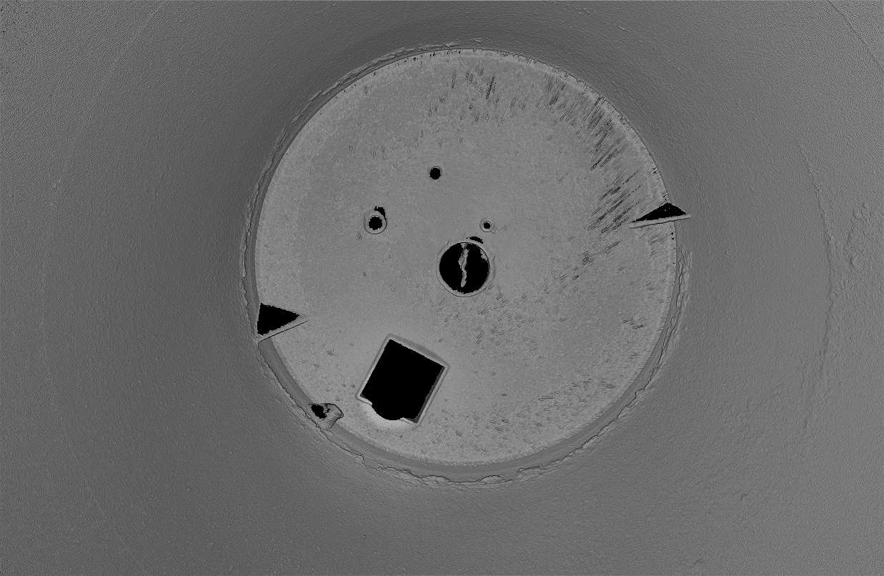
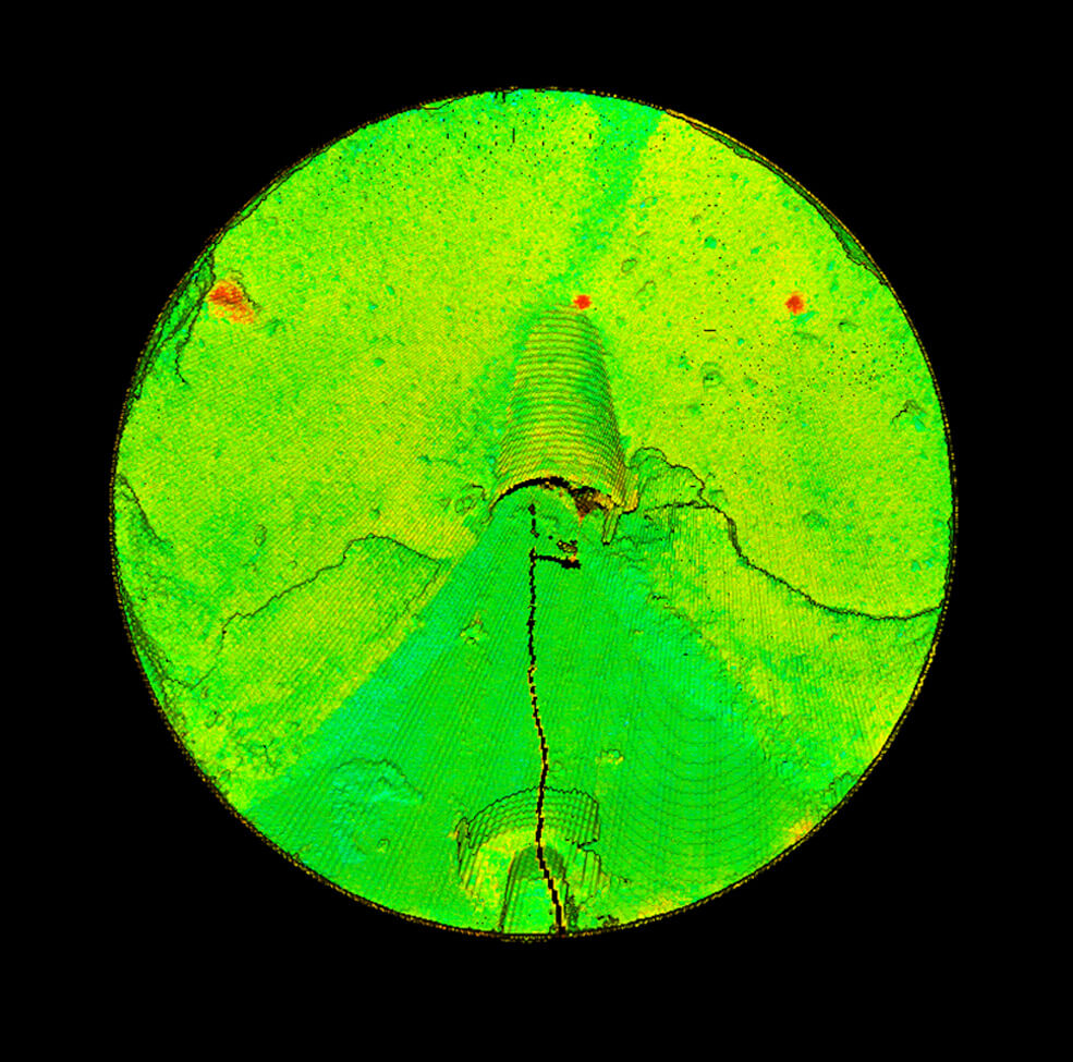
Scan gallery
Your reports and data
Operations
Conditions and volumes
360° HDR imagery, volume data, annotated findings, and accessible reports for operational decisions.
Engineering
CAD-ready data
CAD-compatible models in .las, .e57, and .rcp formats, detailed point clouds, measurement overlays, and cross-sections.
Asset management
A record for future comparisons
Baseline scans, archival reports with audit trails, and comparisons across scan periods. Discuss CMMS integration and tracking requirements with the team.
MSHA- and OSHA-trained technicians. Project scope and delivery requirements confirmed before scanning.